In the morning I got up early because even though I was skeptical that there would be cows or a farmer up there I didn’t want to risk waking up from cow bells.
The next morning I was woken up by cow bells and cows brushing against my tent.
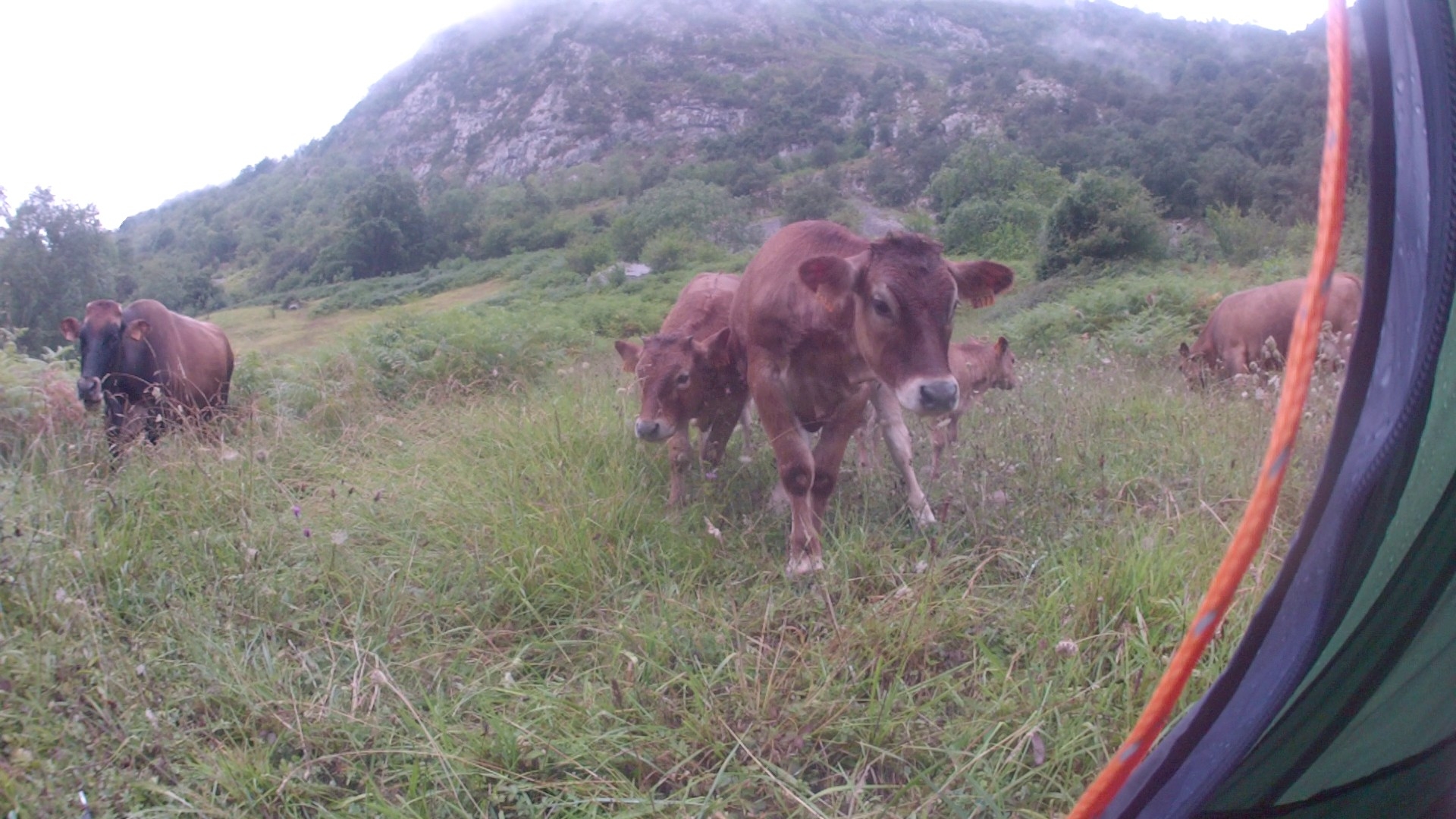
The cows didn’t bother me but it meant that the person who lead them there in the morning must have been close too – and he was but like so many times before when I was camping on somebody else’s property he didn’t even acknowledge my presence (maybe because my grass green tent was blending in so well).
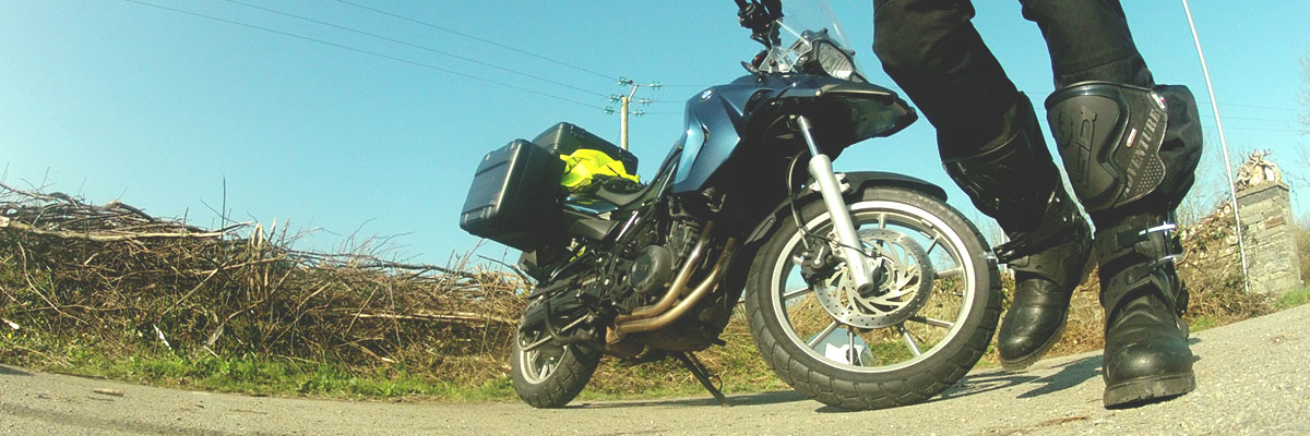
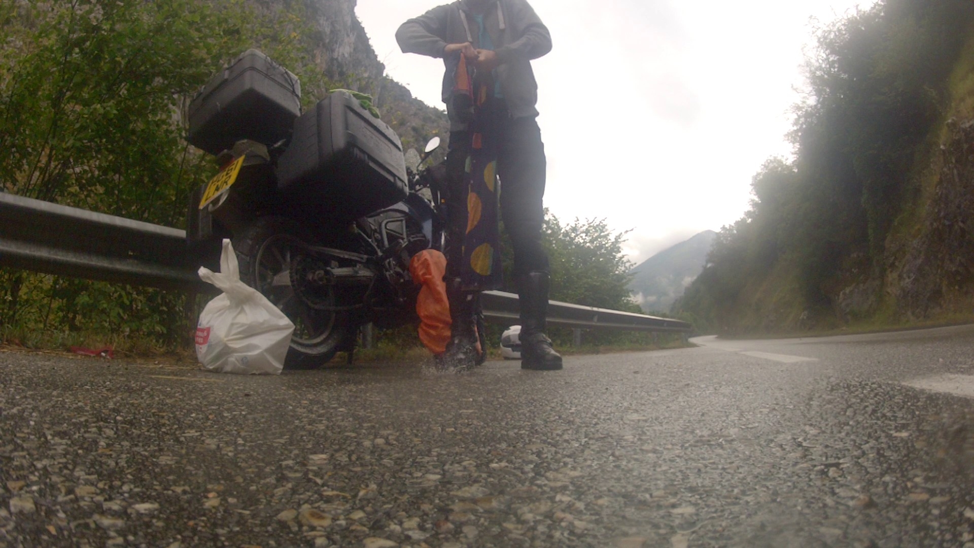
Unfortunately it had started to rain during the night. But because I was on an incline the water that hadn’t already seeped away into the ground flowed downwards beneath my tent and didn’t collect under my tent so everything stayed completely dry inside. I started packing the tent in the rain hoping I the rained would stop soon and I would find a good spot and a little spare time to let it dry.
At least I didn’t have to wash the cloths anymore which I had left on my bike not packed into my waterproof bags.
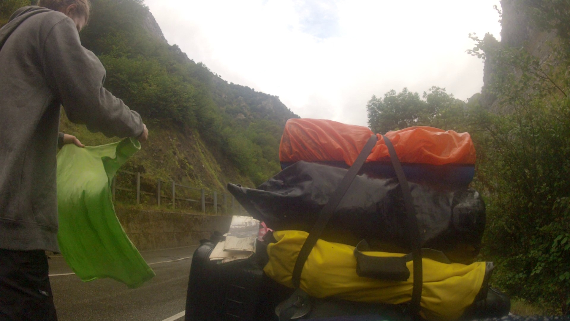
Unfortunately my towel was soaked too.
Today I wanted to reach a road that I had read about online which was supposed to be great for motorcycling. I don’t usually rely on this kind of trip advise because most motorcyclists enjoy twisty roads where they can push and test their own driving limits and those of their bikes going as fast. That’s not for me so I was a bit skeptical and didn’t expect too much.
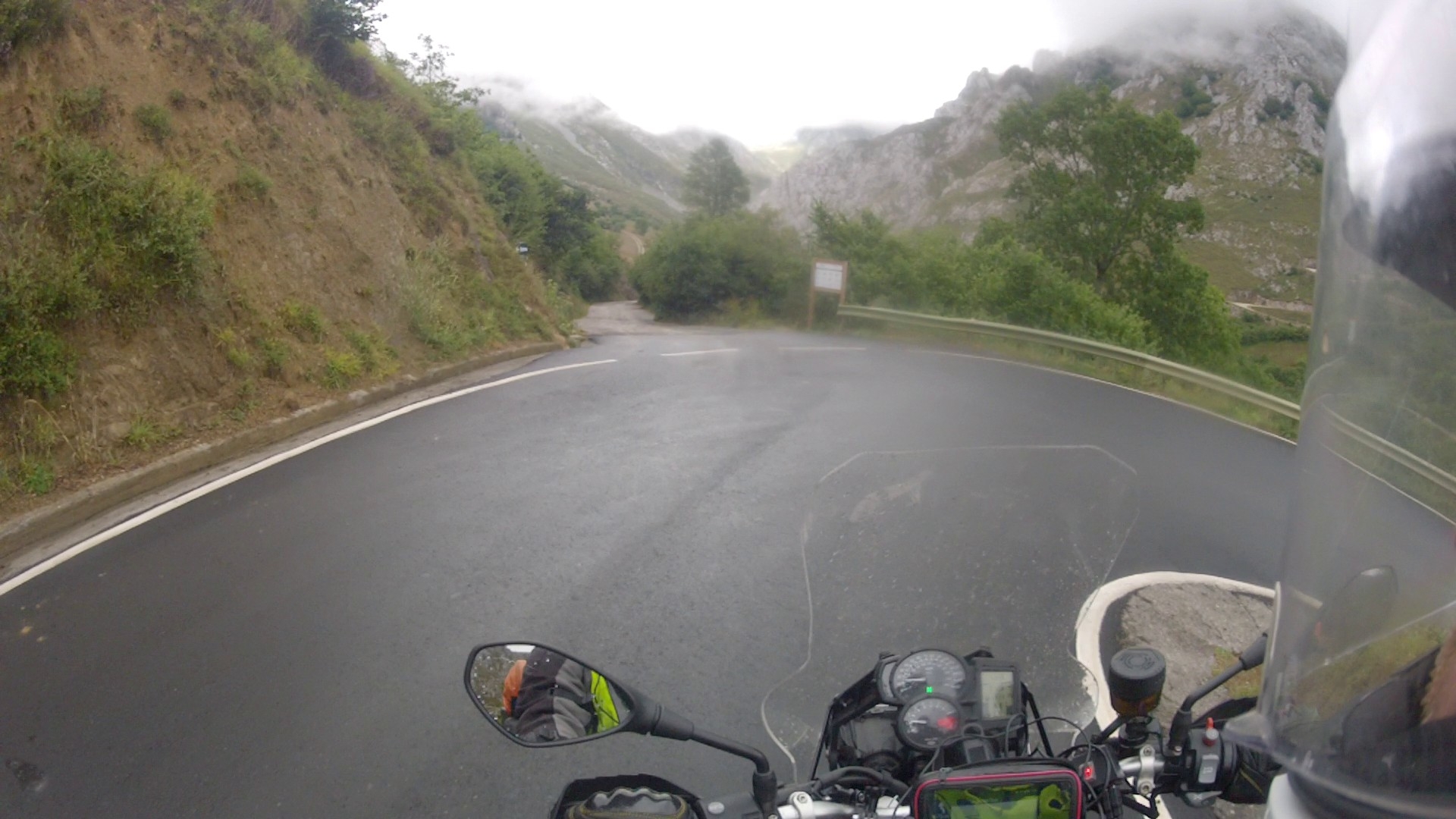
Luckily the weather turned out to only be bad in the little valley I had been in which made sense since it had trapped all the warm air. As soon as I started heading south towards the center of the national park the weather got cooler but better. I needed to go south because I was on the northern side of the national park and the road I was looking for was exactly opposite, on the southern side. So I entered my target in on GPS and it gave me a route straight down to the other side. At this point it should be noted that Google Maps suggests a different route, around the national park.
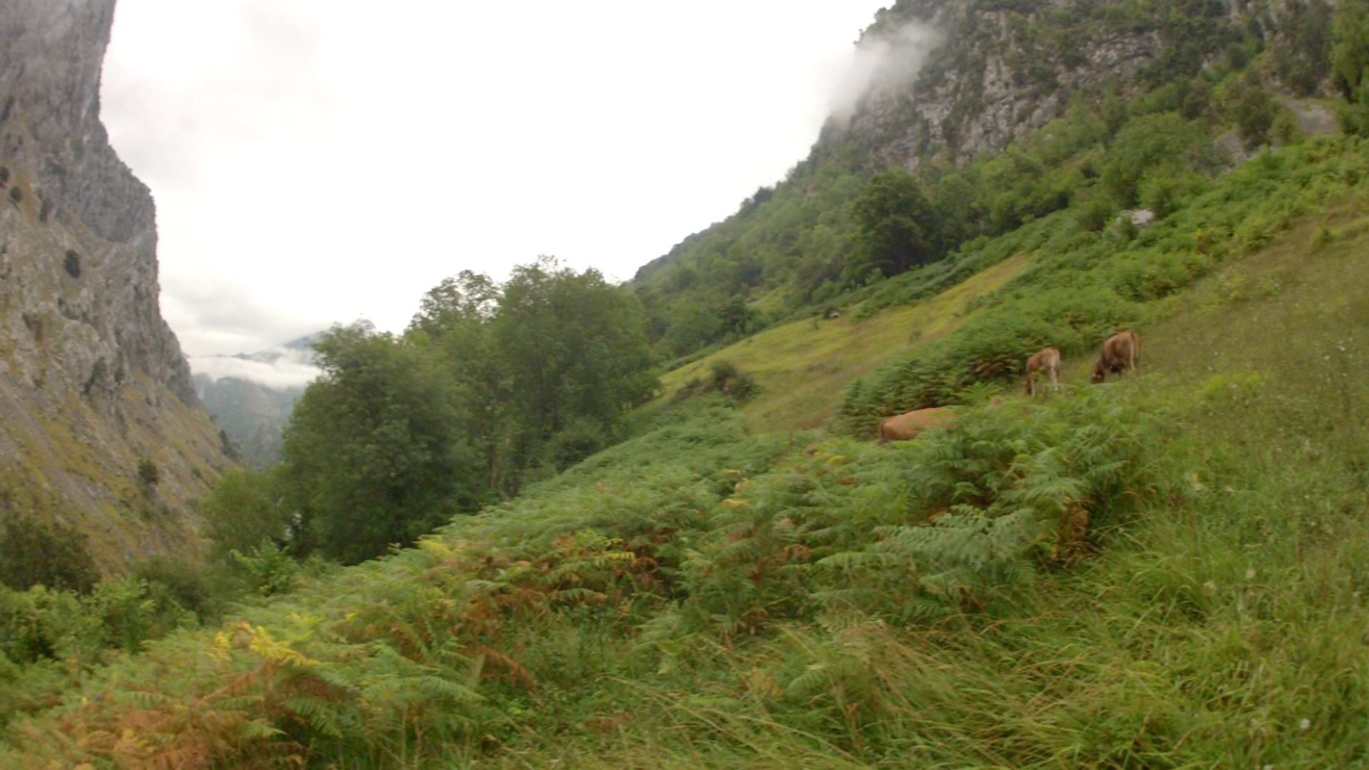
I was very much looking forward to what I hoped would be the best way to see the beautiful scenery of the national park, going straight through it. And my expectations were exceeded within the first few kilometers. The narrow wet road that occasionally slimmed down to one lane lead me past beautifully sun lite mountain faces and emerald green mountain rivers.
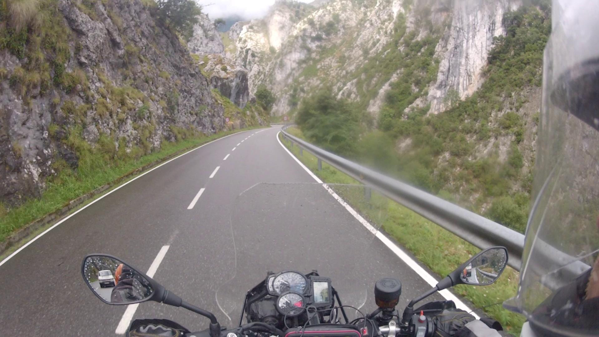
Each corner behind which the road seemed to disappear announced another spectacular view.
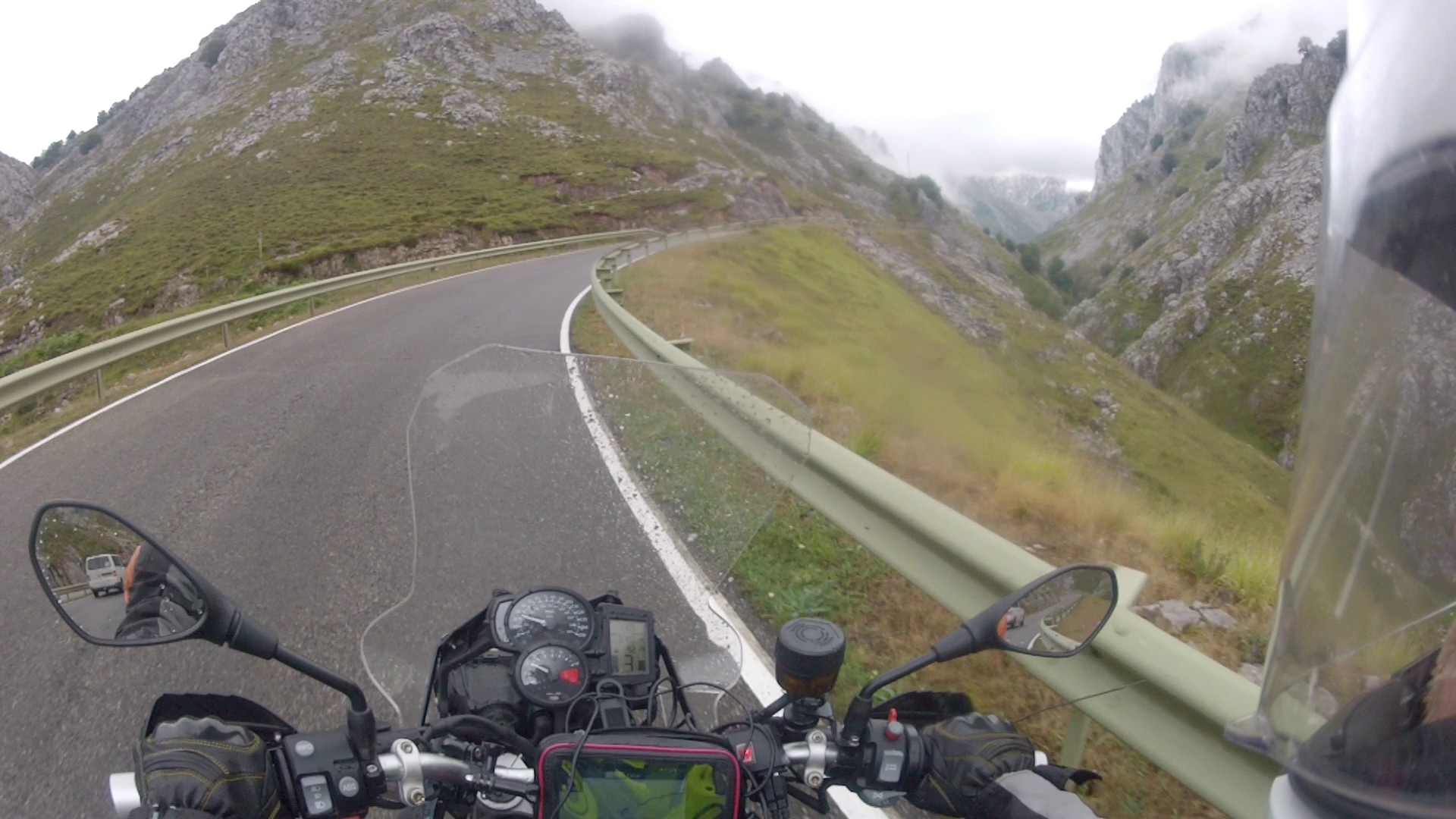
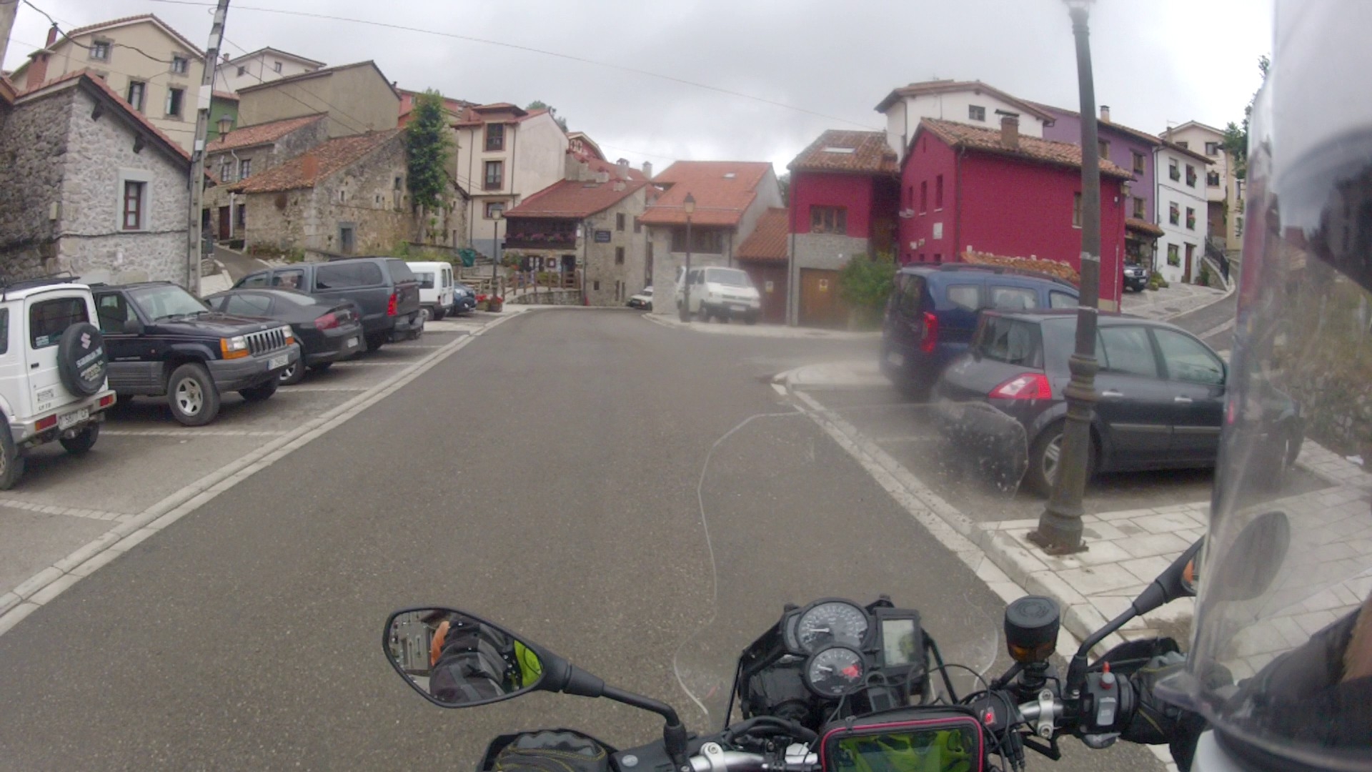
A few kilometers in however the road seemed to end at a little village which again reminded me of an Alpine ski resort village.
What concerned me was that this was the only rout my GPS had found to reach the other side without having to go all around the national park. But it looked like I didn’t have any choice but the return the way I had come and take the long way around.
Just when I left the little village the same way I had come I noticed that my GPS had actually instructed me to take a turn just before entering the village. So I had just missed the right route. However upon arriving back at that turn I saw that it was a little gravel road off the main road. It didn’t really look like it was frequented a whole lot and frankly it didn’t even look like a public road. It also looked like a dead end considering that it was going through a valley facing another mountain chain ahead.